This page includes geosites along the Keweenaw North Shore from west of Misery Bay to Eagle River. Links below will take you to interpretive information, while the map depicts location.
Misery Bay Freda North Entry Black/Hills Creek Sands Gratiot R Mouth
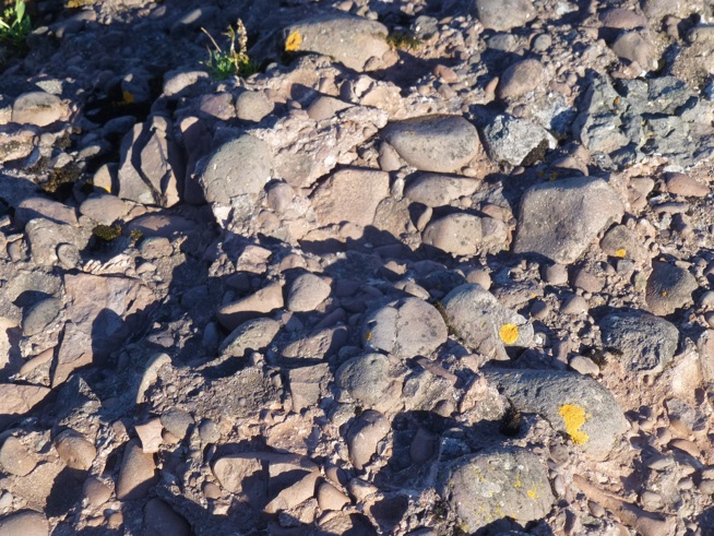
7 Mile Pt Eagle River Great Sand Bay Owl Creek Sands Bear Cr Andesite
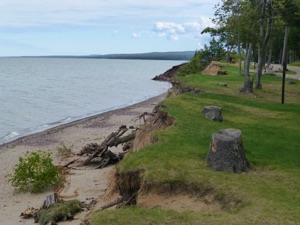
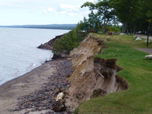
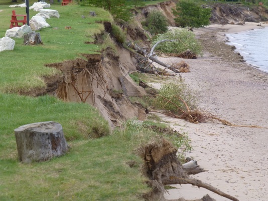
Active Shoreline erosion at North Entry, McLain State Park. July 2014.