Eagle River
 
Copper Harbor Conglomerate
Portage Lake Volcanics

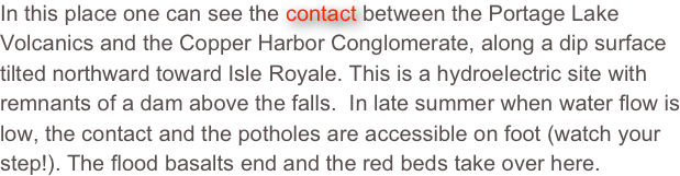
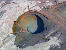
The origin of potholes is still a lively debate and we are now focussed on the idea of bubble cavitation.  Moving water is a key, so potholes are along steep channels and at active shorelines. It may be that the scale of potholes can infer something about flow characteristics.

Spreadsheet:

Pothole Scaling

In this place one can see the contact between the Portage Lake Volcanics and the Copper Harbor Conglomerate, along a dip surface tilted northward toward Isle Royale. This is a hydroelectric site with remnants of a dam above the falls.  In late summer when water flow is low, the contact and the potholes are accessible on foot (watch your step!). The flood basalts end and the red beds take over here.
Offshore of the beach at Eagle River, sandbars are well developed. In winter, ice volcanoes form on the ice shelves, above the bars.http://www.geo.mtu.edu/%7Eraman/SilverI/Lake/Ice_Volcanoes.htmlhttp://www.geo.mtu.edu/%7Eraman/SilverI/Lake/Ice_Volcanoes.htmlshapeimage_6_link_0shapeimage_6_link_1
Douglass Houghton Memorial