This hypothesis says that much of the continent of North America was covered by glacial ice that was 2 miles thick and which extended over much of the midwest. The idea of Continental Glaciation came from Louis Agassiz in 1840. He was Swiss, and so he knew glaciers well. When he came to America, he found only mountain glaciers in the west, but he saw many features which he knew from Switzerland and which were associated with glaciers (eskers, moraines, outwash, kettle lakes, drumlins, kame terraces).


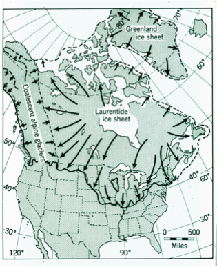
The hypothesis upset many people, because it conflicted with other ideas. But it has survived for 160 years of severe testing, mainly because no one could propose an idea which explained everything seen so directly. Agassiz was a professorial figure who was overconfident and who made mistakes, but this idea has survived and evolved into the theory of Continental Glaciation, which has been applied all over the world.
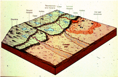
The diagram at left, from AN Strahler’s Physical Geography, shows many of the geological features that Agassiz saw. Other explanations for many of these features did not survive testing, but the glacial idea has gained support worldwide at explaining things and demonstrating that the whole earth’s surface was substantially cooler in the geological past.
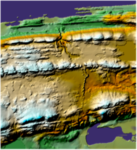
At right, the topographic map of the Keweenaw shows a prominent esker near Mandan. This feature forms as a subglacial river, with gravels on top of a ridge. With a glacier, it makes sense--otherwise?