Terascan Command: master
master- generates a base map and projection for a user specified
area.
This command is used to generate a base map for image registration
(fastreg). The parameters are for the most part self explanatory, but
a full list of valid commands can be found in the terascan manual or
online man pages.
The most important things to think about are:
Map projection: If the data will
be used for mass retrievals, the data should be remapped into an
equal area projection (such as lambert azmuthal).
Base map size: The greater the
number of lines and samples, the larger the data file will be after
it is registered. So, don't make the master file any larger than it
needs to be.
Pixel size: This goes along with
the base map size. If you are using gac data (which have a lower
spatial resolution), a pixel size of 5 is a good choice. If you are
using lac 1 or 2 is a good choice. See examples below to see how
pixel size affects the area covered by the master file.
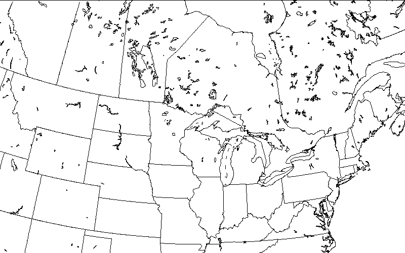
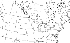
To test to see if you have selected the proper area for your
master file, display it using the xvu command: Image/Display.
Display the filename Master and the variable master, then overlay
the coastline on it using xvu command: Overlay/Coast.
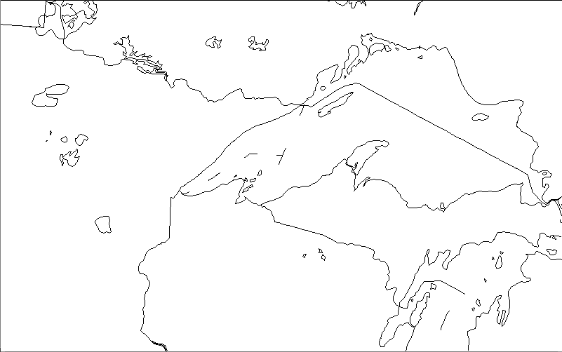
Examples
 %
master
%
master
output file : char(255) ? [Master]
projection : char(
13) ? lambert_azim
center_lat : char( 15) ? 47 N
center_lon :
char( 15) ? 90 W
num_lines : int ? 500
num_samples : int ?
800
pixel_width : real ? [1.1132]
pixel_height : real ?
[1.1132]
rotate_angle : real ? [0]
move_center : char( 3) ?
[no]
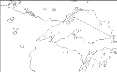
This is an example using the same parameters above, except that
the pixel size has been changed to 5 km instead of 1.1132.
 %
master
%
master
output file : char(255) ? [Master]
projection : char(
13) ? lambert_azim
center_lat : char( 15) ? 47 N
center_lon :
char( 15) ? 90 W
num_lines : int ? 500
num_samples : int ?
800
pixel_width : real ? [5]
pixel_height : real ?
[5]
rotate_angle : real ? [0]
move_center : char( 3) ? [no]
This page maintained by Dave
Schneider (djschnei@mtu.edu)
 %
master
%
master