
Field Trip to Alaska
|
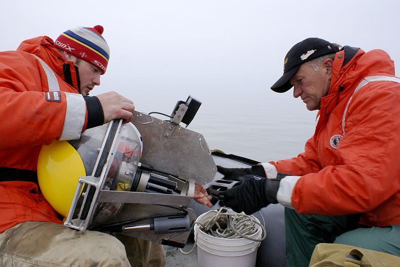
Luke Spaete (left) of the Michigan Tech Research Institute with Michigan Tech president Glenn Mroz looking at ALWAS: Automated Lagrangian Water-Quality Assessment System developed by MTRI MTRI ALWAS Page
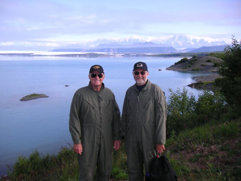
At the Bering Glacier, Alaska, Michigan Tech president Glenn Mroz and vice-president Dave Reed in flight suits
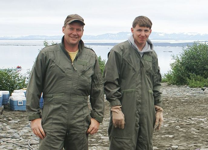
Michigan Tech Professor John Gierke with Josh Richardson.
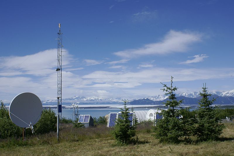
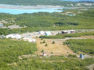
The Bering Glacier camp is located on the edge of Vitus Lake (see map) on a former terminal moraine. The camp, complete with refueling airstrip, kitchen and mess tent, command center, and restrooms, can comfortably host 25 scientists at a given time. The scientists and their staff sleep in tents or wooden floor huts.
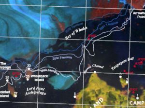
See PDF USGS Map 983 kb
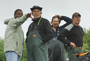
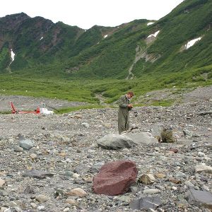
(Left to Right) Dr. Michael Stubblefield from Southern University in Baton Rouge Louisiana, Chris Noyles who is the Remote Sensing Specialist, Alaska State Office, Bureau of Land Management; Nathan Rathbun, and Scott Guyer, Bering Camp Manager, Alaska State Office, Bureau of Land Management
Bering Glacier camp is located on the edge of Vitus Lake (Liza Liversedge photo)
|
Geophysics Field Work The faculty and students conducted research projects in several locations including the Bering Glacier, Vitus Lake, Midtimber Lake, and Seal River. Acccording to Michigan Tech Associate Professor of Geological and Environmental Engineering John Gierke, "Due to glaciers being remote locations and the fact that they are hundreds of feet thick, we do not understand how they move very well and their interactions with the underlying rocks upon which they travel. Since we can not see what is happening, we are attempting to 'hear' the interactions and then deduce where and what is going on." "Our listening devices are seismometers, identical in principle to the ones that are used for monitoring earthquakes, and we deployed 3 on the Bering Glacier and 7 others on islands, peninsulas, and shores near the glacier edge, and they collected data that we hope will tell us when and where bedrock was being broken by the glacier moving and glacier 'calving' (breaking) events, but we have to remove a lot of uninteresting data too, like helicopter and plane flights. "The Bering Glacier melt water flows quickly into a large, deep, mostly freshwater lake, called Vitus. Since Vitus Lake is not growing very quickly, the new meltwater displaces old and it flows into the Gulf of Alaska through the Seal River and an unknown amount (although it appears it must be a large amount) seaps underground, through aquifers, to flow into the coastal waters a few miles away. Most of the surface waters are clear and very cold. Deeper than about 150 ft, however, the water is salty, like the ocean. We hypothesize that during low levels of Vitus Lake (during the winter when glacial melting is reduced) that seawater flows underground, albeit slowly, into the lake at depth. We explored this possibility to a limited extent by mapping the fresh/saltwater interface at depth between the coast and the lake. We used electrical methods to do this, because the electrical properties of fresh and salty water are substantially different. Bering Glacier According to MTRI in a story that appeared in the Detroit Free Press, the Bering Glacier is melting at a faster rate than was believed. Since 2000, MTRI’s scientists and engineers have been conducting research on the Bering Glacier in Alaska to support a Bureau of Land Management (BLM) and U.S. Geological Survey (USGS) hydrological study. The Bering Glacier is the largest (5200 sq km) and longest (190km) glacier in continental North America. Bering Glacier alone covers more than 6% of the glacier-covered area of Alaska and may contain 15-20% of Alaska’s total glacial ice. The entire glacier lies on BLM-administered land. The rapid, continuous retreat of the glacier and the expansion of Vitus Lake at the terminus have provided opportunities for establishing new habitats and new flora and fauna, including a population of endangered harbor seals. Google maps: Bering Glacier The Bering Glacier is located in coastal south central Alaska at 60-61 degrees north (latitude) and 141-145 degrees west (longitude), it is bounded in the north by the St. Elias Mountains and in the south by the Gulf of Alaska. In various places, the glacier has a thickness of over 800m. The Bering Glacier area is exceptionally diverse and valuable from both an ecological and cultural perspective. Unique plants and animals have evolved in this area as a result of the dynamic conditions and rugged terrain found within the Bering Glacier. From a human perspective, the Bering Glacier area is used for recreation, subsistence hunting, and commercial fishing, among other activities. Several other sites were explored by the Michigan Tech researchers, including Childs Glacier, Grindle Hills, Seal River, Cordova, Copper River Delta, Orca, Sheridan Glacier, and Miles Glacier. Alaska Report Article about MTRI and Bering Glacier Detroit Free Press article (PDF) 85 kb Find out more about MTRI Projects at the Bering Glacier View the Bering Glacier website MTRI College Student research at Bering Glacier More about MTRI
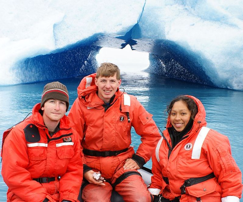
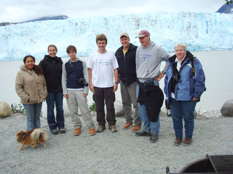
2007 August Trip Participants Michigan Tech Research Institute
Michigan Tech Photos by Kevin Endsley, Robert Shuchman, Liza Liversedge, Erik Josberger and Christopher Noyles
|


8/21/2007