Introduction
Applications
Links Page
Great Lakes Website
Remote Sensing Institute
AVHRR Tutorial
Teachers' Guide
Lesson Plans
 What is remote sensing?
Remote sensing is the process of gathering data about an object using tools that are not in direct contact with that object. Remote Sensing is widely used in Earth Science to study properties of the Earth such as lake or sea surface temperature, ocean color and vegetation.
Why use remote sensing
in large lakes?
Remote sensing
enables large-scale observation of areas that would be inaccessible or
otherwise difficult to access using conventional methods of data retrieval.
Remote sensing is also cost-effective and safer than collecting data in
the field. A satellite can capture
images of an area of concern in minutes that could take a researcher years
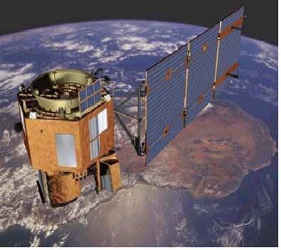
to collect in the field. The type of remote sensing
mentioned on this site deals with images collected by satellites that orbit the earth.
This data is then sent to different agencies and
organizations to be used to study the environment in question. Remote sensing
provides important information to scientists and helps us to better understand
the world around us.
Great Lakes Website | Remote Sensing Institute | Imagery Archive | Helpful Links | R/V Agassiz | R/V Lake Guardian | Teachers' Guide | Virtual Classroom | Resources at MTU | AVHRR Tutorial | Lesson Plans | Judy Budd's Page
Email questions about the content of this web page to : Judy Budd