IMAGES
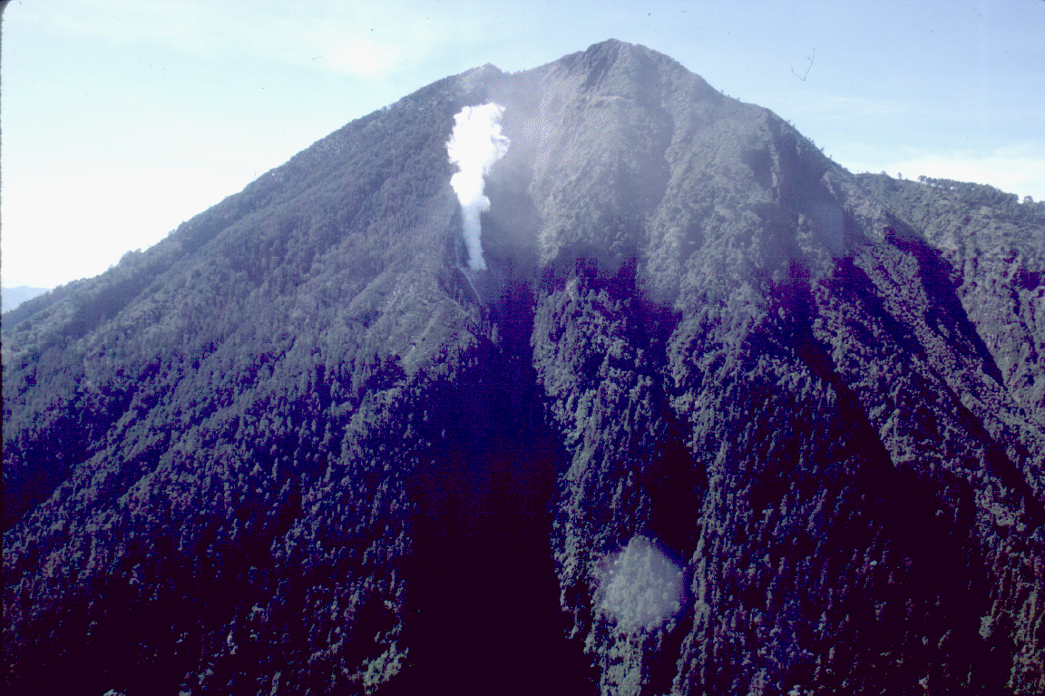
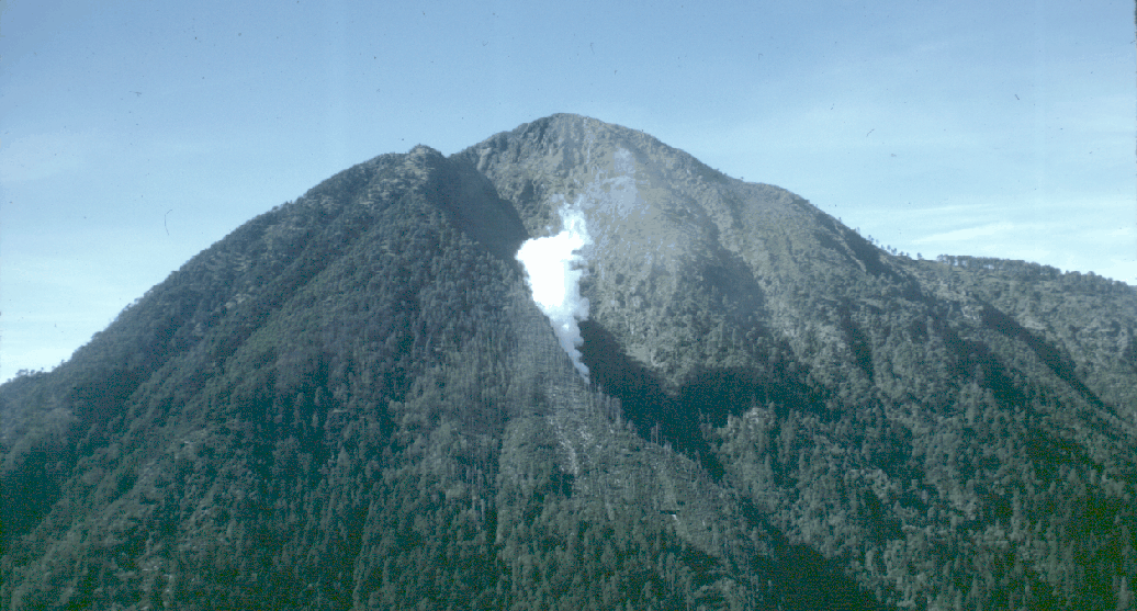
1
- Aerial view of the 1986 fumarole on Tacaná's N slope. Photo by Bill Rose, June 1986.
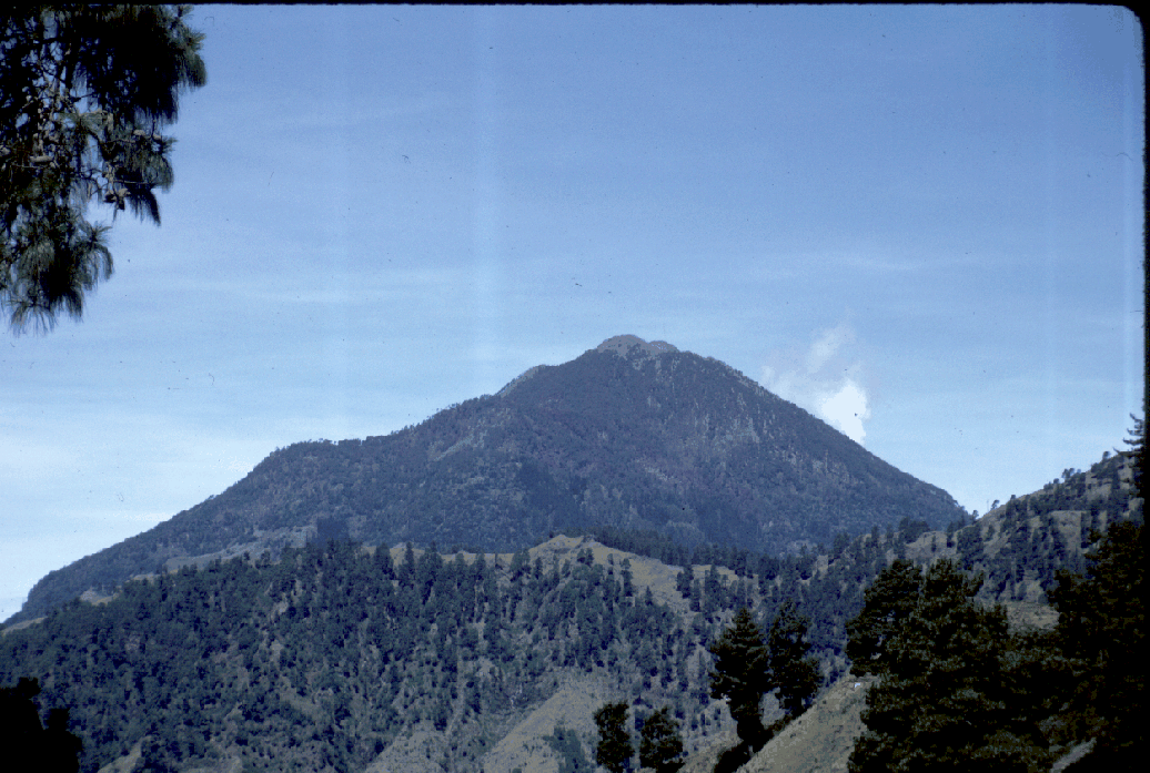
2
- Tacaná as seen from the NE, on the slopes of the Sierra de Sibinal. Photo by Bill Rose, June 1986.
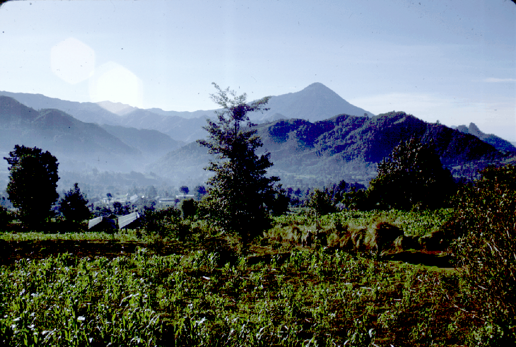
3
- Sibinal, Guatemala, seen from the W at the foot of the slope of the Sierra de Sibinal. The cone of Tajumulco and eroded volcanic topography can be seen in the distance. Photo by Bill Rose, 1986.
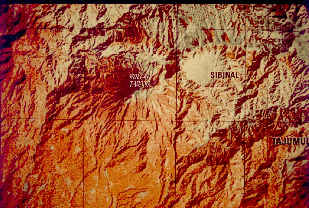
4
- Detail of shaded relief map of the Tacaná region.
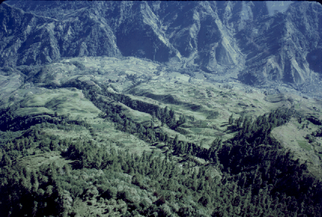
5
- Aerial view of the lobate laharic and lava flow units mantling the NNE flanks of Tacaná, the valley of San Rafael. Photo by Bill Rose, 1986.
6
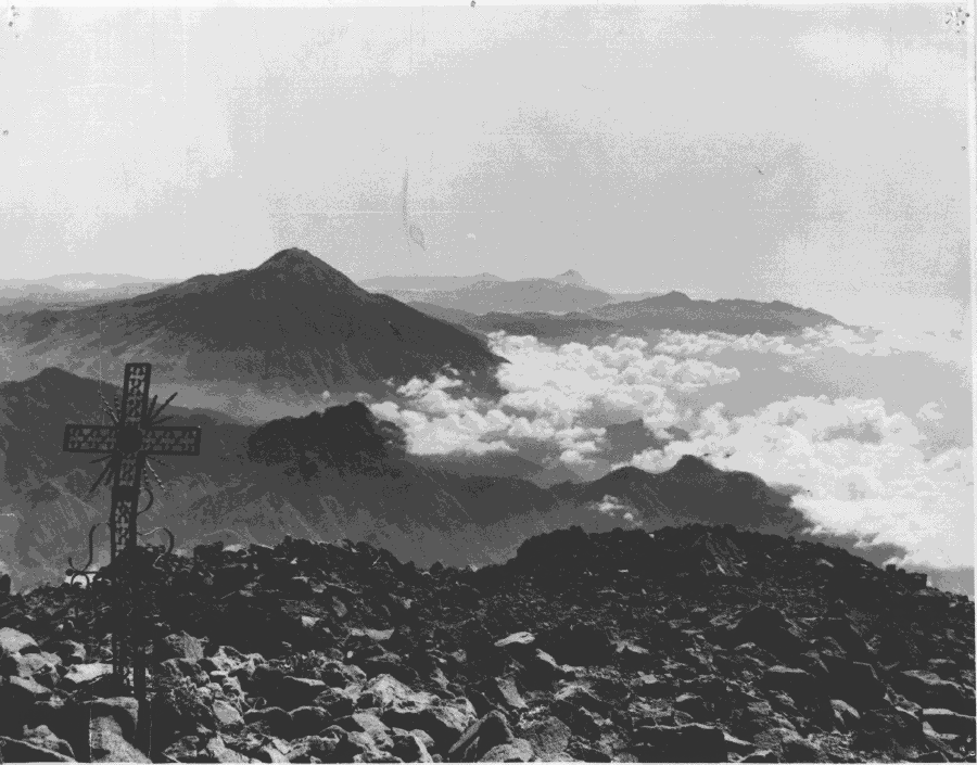
- View from Tacaná's summit, looking SE. The cones of Tajumulco (left) and Santa María (right, at distance) and the rims of Chicabal and Siete Orejas are visible. Photo by C. Prahl.
7