HOW TO GET THERE

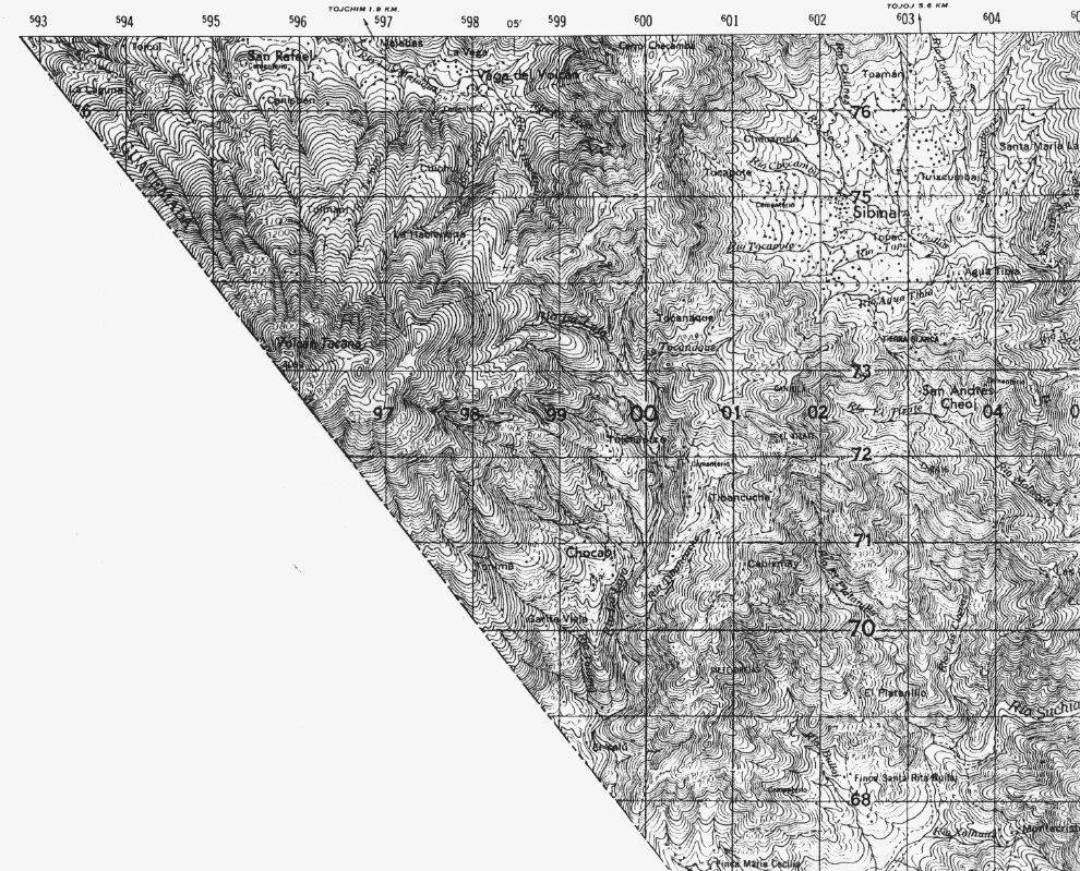
The best route to the Tacaná summit (4091 m) from the Guatemalan side of the border leaves from a town called Sibinal at 2500 m elevation, about 7 km ENE of the summit (75 x 2.3). Sibinal is reached by car and a poorly maintained road from San Marcos, about 65 km away and Ixchiguan. The trail is known by residents of Sibinal, and leads up the Sierra de Sibinal to a place called La Haciendita (74.5 x 98) after about 3-4 hrs. This place is on the slopes of the Tacaná cone at about 2950 m. There is still a long, 4-6 hour ascent to the summit. Three days minimum are needed to visit the summit, and the dry season is by far the best time (November-early April).

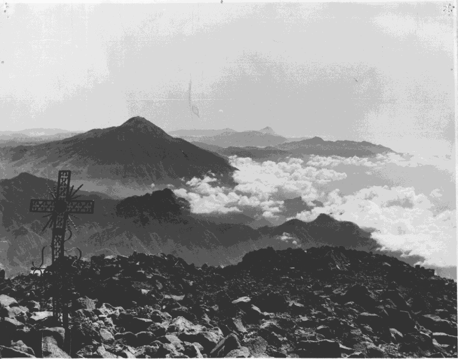
- View from Tacaná's summit, looking SE. The cones of Tajumulco (left) and Santa María (right, at distance) and the rims of Chicabal and Siete Orejas are visible. Photo by C. Prahl.
An excellent source on access to Guatemalan volcanoes by hikers is: C.E. Prahl, 1990, GUIA DE LOS VOLCANOES DE GUATEMALA, 124 p. (published by Club Andino Guatemalteca).