GEOLOGICAL SETTING

Central Guatemala
Latitude: 14.483 N
Longitude: 90.883 W
Like other volcanic front volcanoes in Guatemala, Fuego is located along a WNW-trending line at the Southern edge of a belt of Tertiary volcanic rocks which make up the Guatemalan highlands. The topography of this Tertiary belt is highly irregular and Fuego is built on the same irregular topography. The Tertiary rocks include lava flows and laharic units, and probably represent erosional remnants of volcanoes which range from Miocene to Quaternary age (Reynolds, 1980). The older volcanic remnants buttress the modern Fuego cone and are topographic barriers to all gravity-driven deposits.
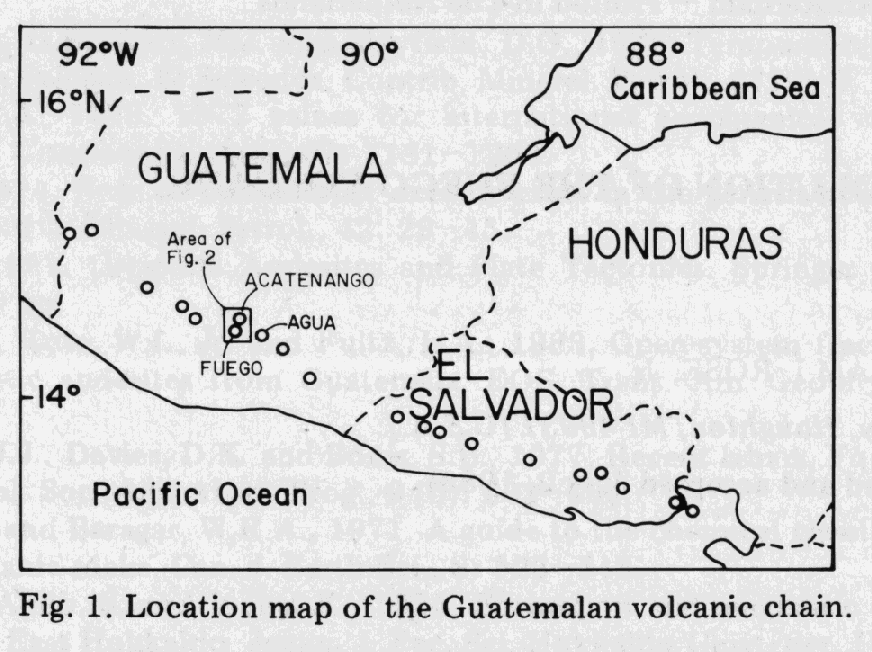
Fuego is located just South of another young volcano, Acatenango; the two make up a paired volcano, like others in Northern Central America (Halsor and Rose, 1987). The two volcanoes have erupted lavas which differ notable in composition - most of Acatenango's lavas are andesites, while Fuego has recently erupted only basalt. Acatenango also has a much lower level recent activity. The N trending line between Acatenango and Fuego also encompasses the positions of two minor vents, Yepocapa and Meseta. Meseta represents an older, partly eroded or collapsed vent just North of Fuego. It is broadly andesitic in composition (Chesner and Rose, 1984).
(Rose et al., ???)
Fuego volcano is situated in the WNW-trending Quaternary volcanic chain. The Middle America trench parallels the volcanic chain about 100 km to the south. A belt of shallow and intermediate-depth earthquake foci occurs between the trench and the volcanic chain. The tectonic setting has been interpreted as a converging plate boundary (Molnar and Sykes, 1969) at which the Cocos plate is underthrusting the Caribbean plate beneath the volcanic chain. The volcanic chain and subduction zone have been divided into segments based on volcanic lineaments and seismicity (Stoiber and Carr, 1973). Fuego lies within the central Guatemalan segment of the arc, which extends from Santa María volcano to Pacaya volcano. Fuego is the southern most of four vents, which form a 5 km long north-south-trending line. Each of the vents forms a summit along the north-south ridge from north to south the summits are: Yepocapa (3880 m), Acatenango (3976 m), Meseta (~3600 m) and Fuego (3763 m). Material erupted from the four vents forms a single coalesced stratovolcano complex elongated north-south. Nearly all historic activity of this volcano group has occurred at Fuego (Mooser et al., 1958).
(Rose et al., 1978)