IMAGES
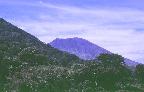
- View of western side of San Miguel volcano from Chinameca volcano. Photo by Carlos Pullinger, 1996.
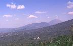
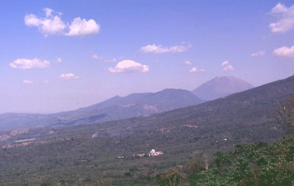
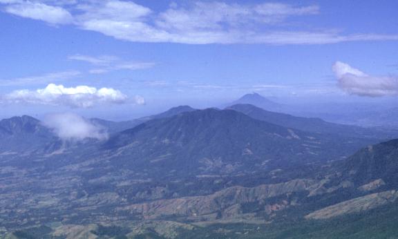
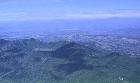
- View (due east) of San Miguel volcano on the right background. Chinameca volcano is to the left of San Miguel. The foreground is composed of coffee plantations and a processing plant on the northern flank of extinct El Tigre volcano. Photo by Carlos Pullinger, 1996.

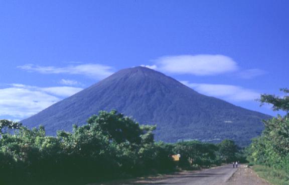
- San Miguel volcano as seen from the north along the road to Las Placitas. Note exhuberant vegetation (mostly coffee plantations) almost to the summit of the volcano. Photo by Carlos Pullinger, 1994.
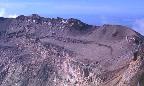
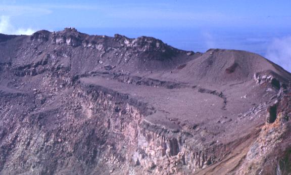
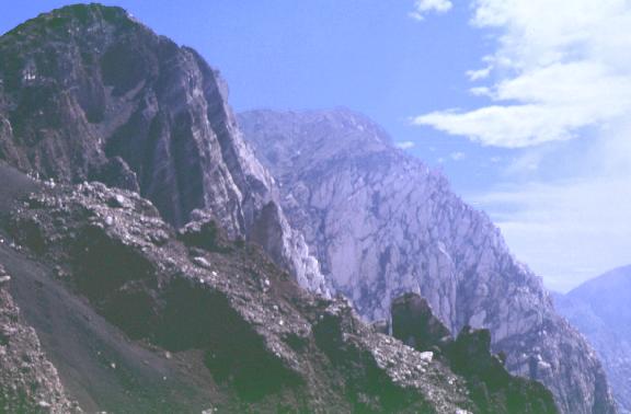
- Southwestern rim of the San Miguel crater. Note concentric fault and collapse bench. The Pacific Ocean can be seen in the background. Photo by Carlos Pullinger, 1994.
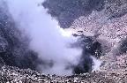
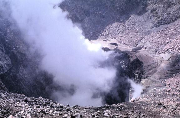
- View of the internal crater of San Miguel volcano. High temperature fumaroles periodically cause small phreatic eruptions that deposit thin layers of ash on the surrounding vegetation. Photo by Carlos Pullinger, 1994.
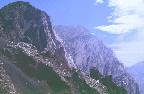
- Northwestern crater walls. Note steepness of walls and different layering of scorias and lavas. Photo by Carlos Pullinger, 1994.
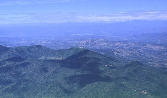
- Pacayal crater of Chinameca volcano as seen from the summit of San Miguel volcano. In the middle background notice the subcircular morphological feature which identifies the Chinameca collapse caldera.. Photo by Carlos Pullinger, 1994.
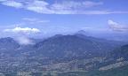
- View due west from the summit of San Miguel volcano. Chinameca volcano is not completely visible, but is to the right of the picture. In the middle foreground El Tigre volcano can be seen. Behind it, is Tecapa volcano and on the horizon San Vicente volcano is observed. Photo by Carlos Pullinger, 1994.