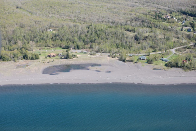
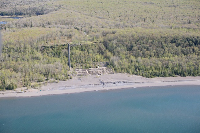
The mill at Freda built a stamp sand fan that did not persist in the big lake because the sand was quickly carried away by waves and currents. Unlike the Gay Sands, the Freda Sands are distributed in both directions from the Mill, sometimes carried by west wind driven waves, reinforced by the Keweenaw current, and at other times the sand goes west, carried by NE winds which are stronger than the counterclockwise coriolis-driven currents.

http://greatlakes.usace.army.mil
http://greatlakes.usace.army.mil


http://greatlakes.usace.army.mil


Jim Belote
Jim Belote
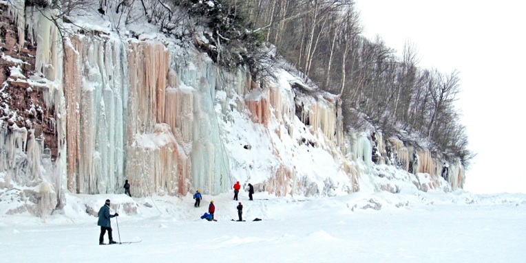
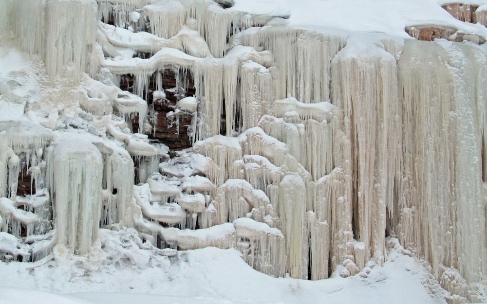
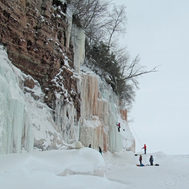
Freda Cliffs in Winter!

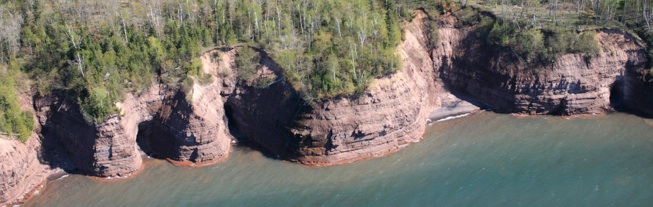
excerpt from: GEOLOGIC MAP OF THE KEWEENAW PENINSULA AND ADJACENT AREA, MICHIGAN By William F. Cannon and Suzanne W. Nicholson After deposition of a few hundred meters of Nonesuch lakebeds, a return to continental fluvial sedimentation is marked by the base of the Freda Sandstone. The Freda is at least 1 km thick in the map area and the original top is not preserved. Like the underlying Copper Harbor Conglomerate, it is mostly lithic arenite, mostly composed of Keweenawan volcanic rock fragments, but it tends to be somewhat more mature in composition (Daniels, 1982). It appears to be derived from a mixed lithologic source of both Keweenawan volcanic rocks and older basement terranes. By this point in the rift history, streams draining to the basin appear to have originated outside of the rift and were eroding Early Proterozoic and Archean terranes as well as Middle Proterozoic volcanic rocks along the rift flanks.
Jim Belote