http://superiorwatersheds.org/shorelineviewer2011/


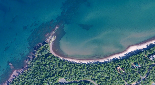
This site allows for a contrasting comparison of beaches with higher and lower energy windward and lee of 7 Mile Point, to see the differences in grain size of sediments deposited there.
It also allows access to the lavas of the Lake Shore Traps, showing a variety of lava flow features and amygdaloid mineralizations.
Park in the North Woods Conservancy parking lot and follow the marked trail to the beach. Then walk west and/or east, as needed. Respect private land.


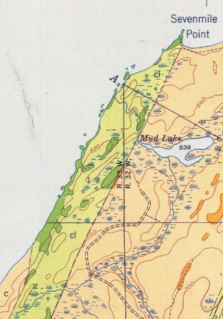
7 Mile Pt
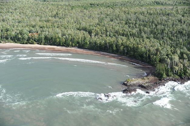
Sandbars forming in low energy beach region east of the point
This site shows that sandbars tend to form in low energy beach areas. Also see the Misery Bay Site, where the same relation is even more clearly shown.
Apple Maps
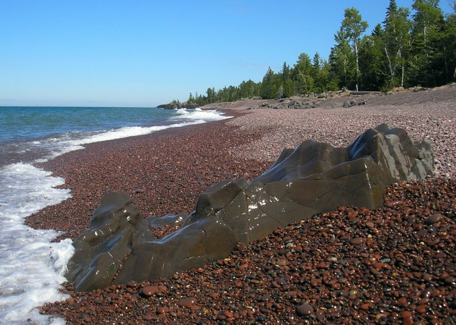
High Energy Beach
Lake Shore Traps