Amygdaloid Island
 

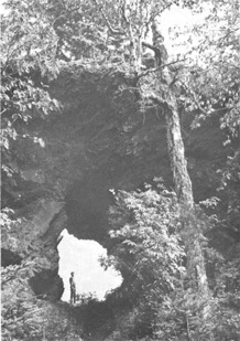
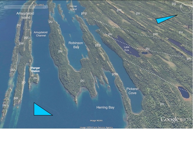
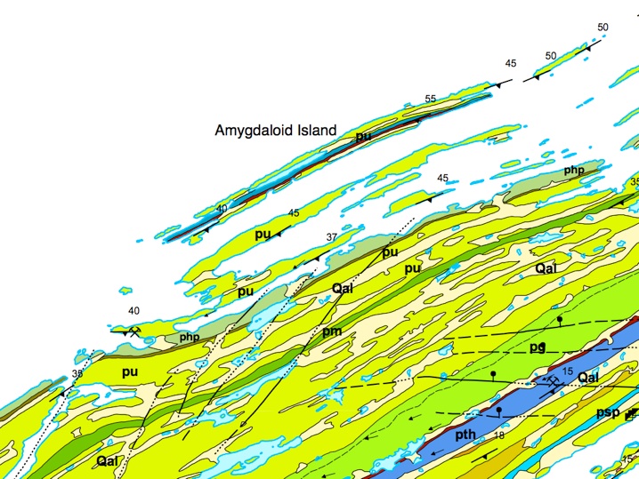
The Amygdaloid Channel

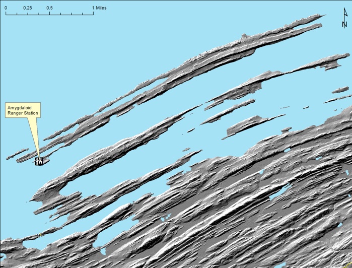
From McCargoe Cove, we will continue to the NE, passing through the Amygdaloid Channel. Amygdaloid Island is composed of the oldest lavas of the PLV on Isle Royale and is supported by a large flow, the Amygdaloid Island flow (pai), which is a fine-grained basalt (termed "trap"). At the W end ofAmygdaloid Island is the National Park Service (NPS) ranger station near Kjaringa Kjeft. Crystal Cove is 3.2 km (2 mi) E of the station, which was, beginning in 1906, a  private residence and fishery.

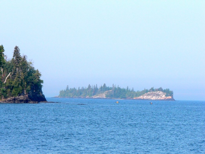
As we travel through the Amygdaloid Channel, drowned ridge and valley topography of Isle Royale will become very visible, with more resistant lava flows holding up linear islands. Shipwrecks are numerous on the many "reefs" found all around the NE end of Isle Royale. Opposite of Crystal Cove on the S side of Amygdaloid Island is Belle Isle, which is a beautiful campground, accessible only by boat and canoe, located on the site of a resort that operated in the 1920s, serving the grand lake steamers of that period.

Amygdaloid Island is the site of mafic volcaniclastic deposits (pp, colored brown on the above map). It also has a sea arch (right) which is located almost directly opposite the keyhole.

Rocks on Amygdaloid Island are the lowest stratigraphic levels of all of Isle Royale. (Huber, 1973)

LIDAR survey of all of Isle Royale, with a nominal resolution of about 2 m is newly available for study. The image above came from Seth De Pasqual, at Isle Royale National Park. It reveals a striking topography which shows the dipping lava beds.  Prominent large lava flows, like the Minong flow (pm) are obvious features in this image. Differential erosion of lava flows occurs when soft material, like what is found in the amygdaloidal flow tops and along faults is preferentially removed and makes a topographic low, while the massive flow interiors resist erosion and become topographic highs. In this image of Amygdaloid Island and the area S of it, we see the sequence of many lava flows of variable thickness, all dipping southward, toward the rift.

The image shows the consistency of flow thickness over a scale of several kilometers. These thickness relationships seem to carry across to the other side of the rift as well, at least if correlations are credible based on them (circular argument!). For details on stratigraphy and for Iceland photos of flow sequences in steep cliff exposures, click on this.

pm
pm
pm
php
php
php
pai
pai