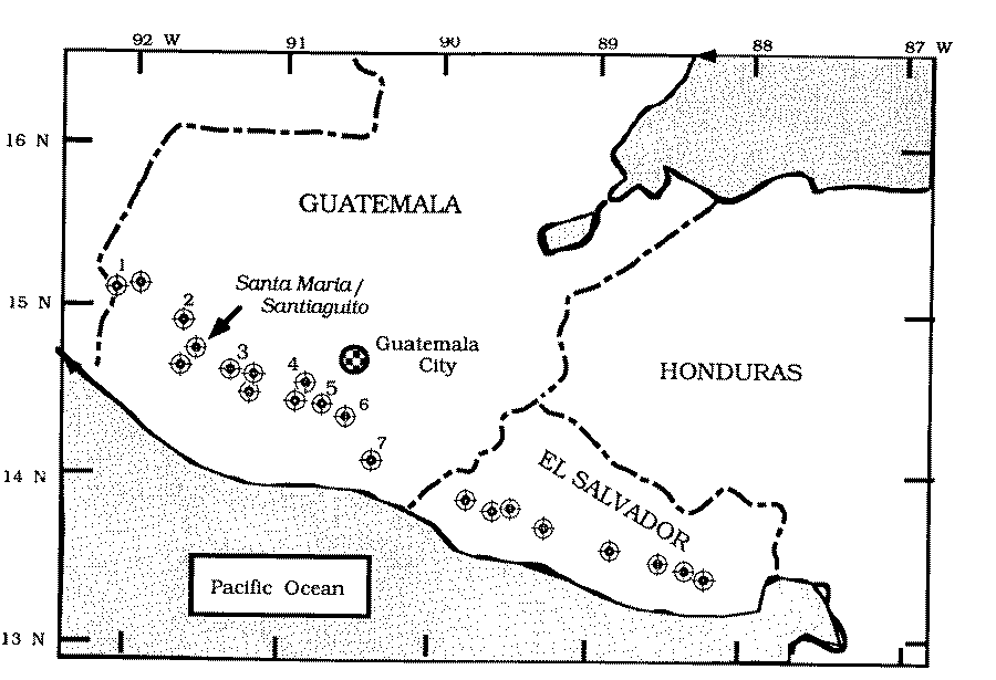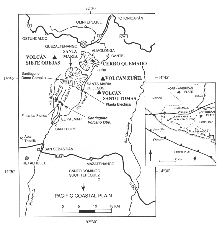
Santa María is located along the Volcanic Front of Central America, near its NW terminus. It occurs at the southern edge of the Volcanic Highlands, where the highlands slopes sharply to the coastal plain. The second largest city of Guatemala, Quezaltenango, is located about 10 NNE.
Santa María occurs near the triple junction of the North American, Cocos, and Caribbean plates in a WNW trending belt consisting of a linear chain of relatively small volume, basalt-andesite composite volcanoes spaced at an average interval of 28 km (Williams and Self, 1982). The linear character of the volcanic chain is attributed to its location on the Pleistocene-Holocene volcanic front of Guatemala, which runs NW-SE (Conway et al., 1994). Other volcanoes in the region include Atitlán, Tolimán, Agua, Acatenango, Fuego, Pacaya, and Cerro Quemado.