Characteristics of GOES-8 and -9
Satellite Specs
Sub-satellite Locations
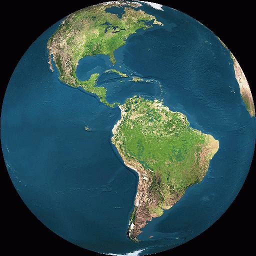
GOES-8: 75 W longitude
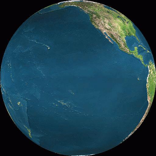
GOES-9: 135 W longitude
GOES-8 Scanning Stragegy: Detailed Schedule
Full Earth-Disk: 8 times per day
Continental United States (60N to 10N): 40 times per day
Canada to Brazil (67N to 20S): 40 times per day
South America/Pacific 20S to 50 S: 36 times per day
GOES-9 Scanning Stragegy:
(This is my best guess at the schedule)
Full Earth-Disk: 8 times per day
Continental United States (60N to 10N): 24 times per day
North Pacific & North America (67N to 20S): 24 times per day
South Pacific 20S to 50 S: 24 times per day
Imager Specs
Records data in 5 spectral bands
- Visible: (0.55-0.75 um)
- Near-IR: (3.80-4.00 um)
- Water Vapor: (6.50-7.00 um)
- Thermal-IR: (10.2-11.2 um)
- Thermal-IR: (11.5-12.5 um)
Spatial Resolution
1 km Visible Band
4 km Thermal Bands
Spectral Resolution
All channels 10-bit data
Band 4 and 5 sensitivity: 0.35 K at 300 K
This page maintained by Dave Schneider (djschnei@mtu.edu)