Remote Sensing of Volcanic Eruption Clouds Using AVHRR
David J. Schneider, David J. Delene, William I. Rose and Shiming Wen
Department of Geological Engineering and Sciences
Michigan Technological University
Abstract
The purpose of this document is to provide a tutorial on the use of Advanced Very High
Resolution Radiometer (AVHRR) data for the detection and discrimination of volcanic clouds,
and for the retrieval of cloud optical depth, particle mass and effective radius. Eruptions
of various scales, geographic region, and atmospheric conditions are examined. Detailed
instructions are provided on the use of RADIANNET, a radiative transfer model for retrieving
cloud properties.
Introduction
During the past 15 years, there have been more the 80 incidents of jet aircraft
encountering volcanic clouds. Seven of these incidents resulted in the
in-flight loss of engine power, which could have resulted in the crash of the
aircraft, and repair costs (up to mid-1994) have been estimated at more than
$200 million. [Casdevall, 1994; U.S. Geological Survey Bulletin 2047.]
As a result of these encounters, there has been research done on the satellite
detection and tracking of volcanic clouds using theAdvanced Very High Resolution Radiometer (AVHRR). This research has shown
that it is possible to detect and track volcanic clouds using a dual
thermal-IR proceedure.
Background Information
Introduction to RADIANNET
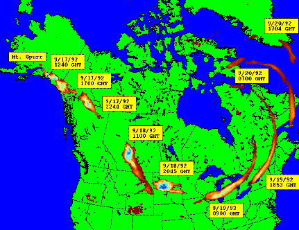
Browse Gallery of Eruptions Observed using AVHRR
This page maintained by Dave Schneider (djschnei@mtu.edu)