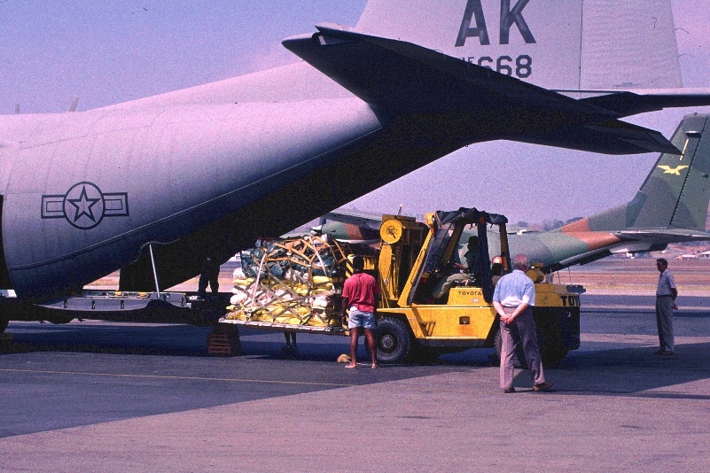
 (JPG - 801x534 236K)
(October 1, 1994) Replacement instrumentation for Rabaul being loaded on a U.S. Air Force C-130 airport in Port Moresby
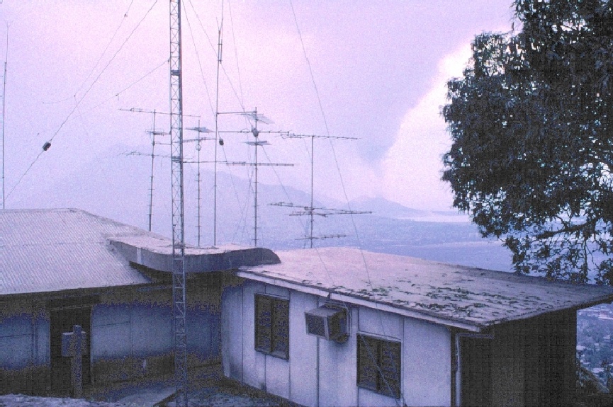 (JPG - 865x575 240K)
(October 2, 1994) Rabaul Volcano Observatory (RVO) in foreground and Tavurvur erupting in the distance
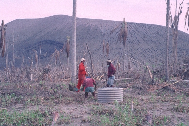 (JPG - 785x525 215K)
Tom Murray (USGS/CVO) and RVO personnel working on seismic and tiltmeter site south of Vulcan at the edge of a blowdown area.
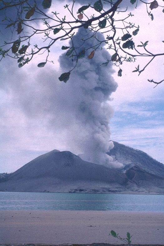 (JPG - 524x785 184K)
(October 3, 1994) Tavurvur from Kaputin Point. Tavurvur is approximately 2 kilometers away.
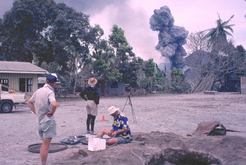
 (JPG - 765x510 226K)
Andy Lockhart (USGS/CVO), John Tibbets (PNG Department of Geology), and RVO personnel setting up a sesimic station at Kaputin Point.
 (JPG -790x530 222K)
Tom Murray (USGS/CVO) and RVO personnel at the Matupit Island tiltmeter site. Tavurvur erupting in the background.
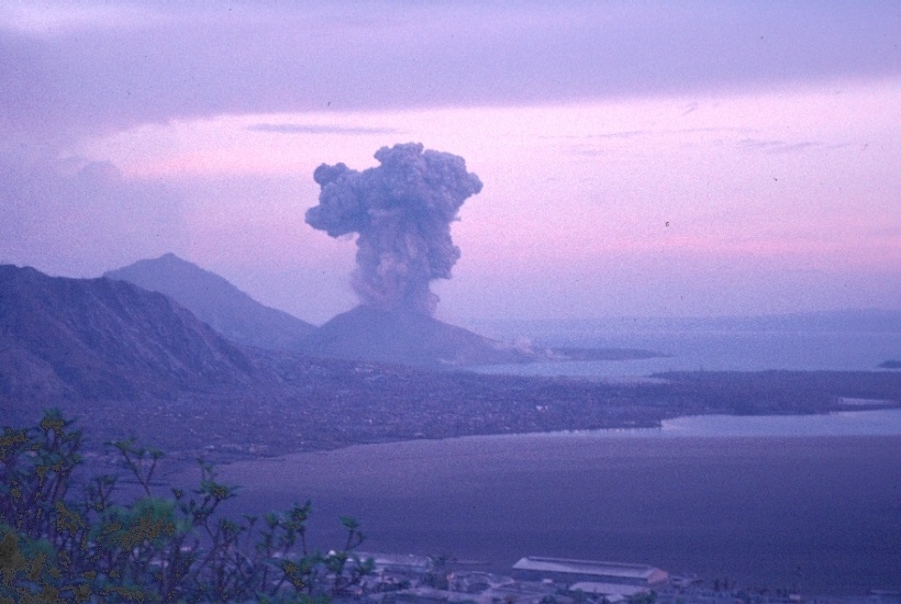 (JPG - 820x550 158K)
Evening view of Tavurvur erupting from the Rabaul Volcano Observatory.
 (JPG - 820x550 205K)
Tavurvur on October 15, 1994, looking east. View from Royal Australian Air Force C-130 departing New Britain.
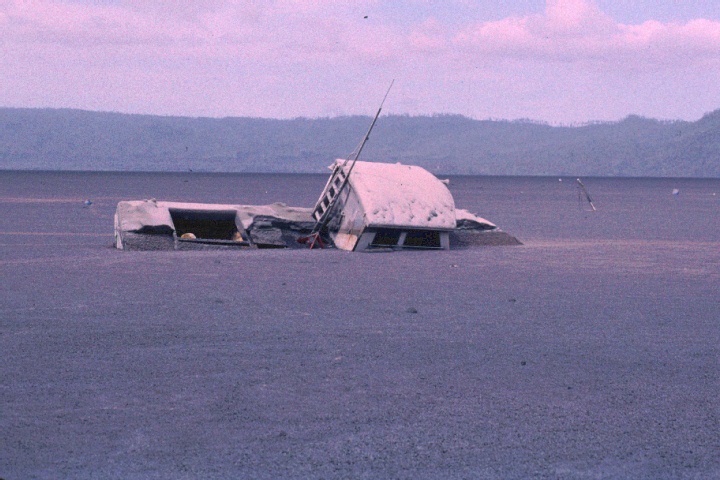 (JPG - 720x480 146K)
Boat in Simpson harbor near Rabaul partially sunk in the pumice raft. The pumice raft covers several square kilometers of the northern part of the harbor and consists of pieces of pumice a few centimeters in diameter. The southeast trade winds tend to keep the raft fast to the shore at Rabaul. It is shifted by the wind and tides, and can probably be expected to blow out to sea when the monsoon comes and the wind direction reverses, unless the pieces sink first.
 (JPG - 792x528 203K)
Buried vehicles in southeastern part of Rabaul give an indication of ash thickness. This is one of the most heavily-affected areas of Rabaul. Tavurvur plume in the background, about 4km away.
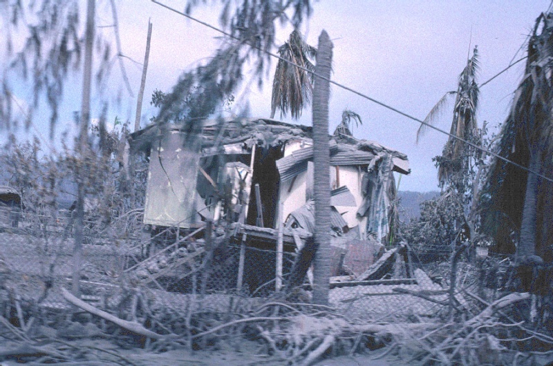 (JPG - 800x530 285K)
House and property damaged by ashfall in southeastern Rabaul. Most of the buildings had fairly flat roofs of corrugated metal.
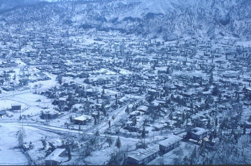 (JPG - 800x530 228K)
Southeastern Rabaul, aerial view.
 (JPG - 524x785 202K)
Tavurvur, 3km away, from the seismic site at Rabalanakaia. Rabaul is behind and to the right of the photographer. Ash thickness on these steep hillsides is probably greater than 1m.