Ruapehu Volcano, New Zealand
Satellite Images and Movies
GMS-5 Band 1. Thermal Infrared brightness temperature image. In this image, cold features, such as high clouds are bright white, and warm features, such as water and land are dark. The volcanic cloud is seen extending from the vent (red dot) to the northeast. In the early images in this sequence, the volcanic cloud is detected by its location realitive to the vent, its shape, and its cold temperature. However, as the cloud detaches from the vent and drifts away, it is difficult to discriminate it from meterological clouds. Note that after 0830 GMT on June 17, the volcanic cloud is difficult to distinguish from the meterological clouds. However, multispectral image techniques allow us to discriminate ash bearing volcanic clouds, from meterological clouds containing water and ice. (See below)
GMS-5 Band 1-2. Two channel thermal infrared brightness temperature difference image. In this image, the temperature information at two different wavelengths are used to discriminate the volcanic cloud. Volcanic clouds generally have negitive band 1-2 temperature differences, while meterological clouds generally have positive differences. In this image, we are able to pick the volcanic cloud out of all of the background information, and to track it more clearly for longer time periods.
Mt Ruapehu Information put together by Ian Sprod at NASA
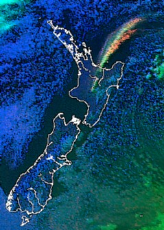
The Institute of Geophysics at Victoria University of Wellington has the latest Satellite Images on-line.