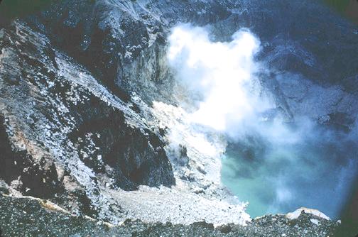
Fumaroles and crater lake of Santa Ana volcano.
The active volcanoes are clearly related to contemporaneous seismic activity. Great shallow thrust earthquakes are preceded by lulls in volcanic activity and followed by periods of intense volcanic activity. The most active volcanoes overlie portions of the inclined seismic zone that are largely aseismic, but there are concentrations of seismic activity at intermediate depths located just updip from these aseismic regions. This suggests strongly that magma is produced near the top of the descending slab."
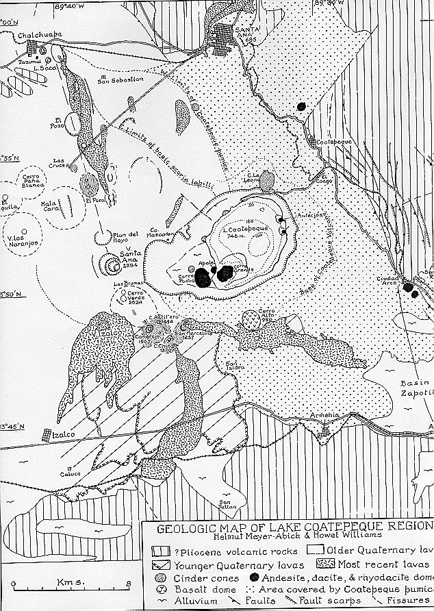
Tectonically, Santa Ana volcano and its associated volcanic centers are located were an E-W fault system intersects NW-SE faults. The E-W fault system is associated with the Central American graben, a structure formed by the subduction of the Cocos plate under the Caribbean plate.
The active volcanic front in El Salvador is usually located on the southern graben fault. The NW-SE system is associated with extensional faulting normal to the Motagua-Polochic left-lateral strike slip faults that identify the boundary between the North American and Caribbean plates (Dengo, 1985).