AVHRR Processing: Shifting & Georectification
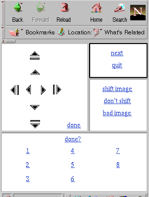
Georectification for AVHRR images occurs by hand using a PCI/EASI program in
conjunction with a web-tool created for the process.
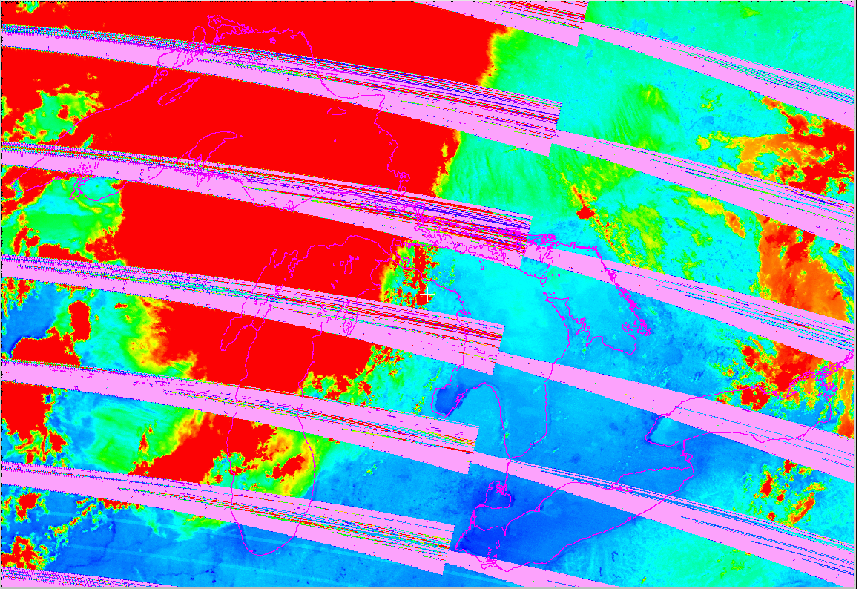
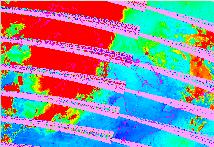
Quality control occurs at this point as well, with the user throwing out
any contaminated images, such as:
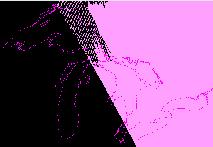
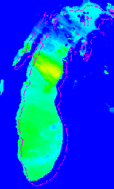
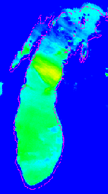
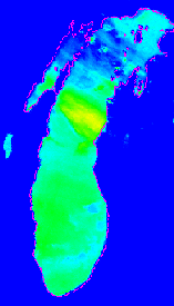
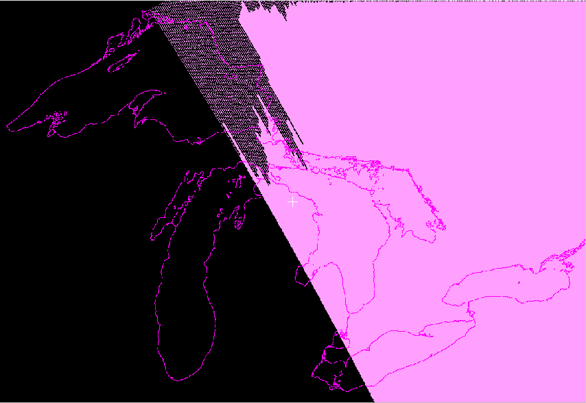
The image is moved to match a coastline; once a good fit is obtained the image is
georectified using PACE EASI Software. The program then outputs .tiff and thumbnail
.jpeg images which are ready for web-posting.
Next AVHRR step
Back to Image Processing Main