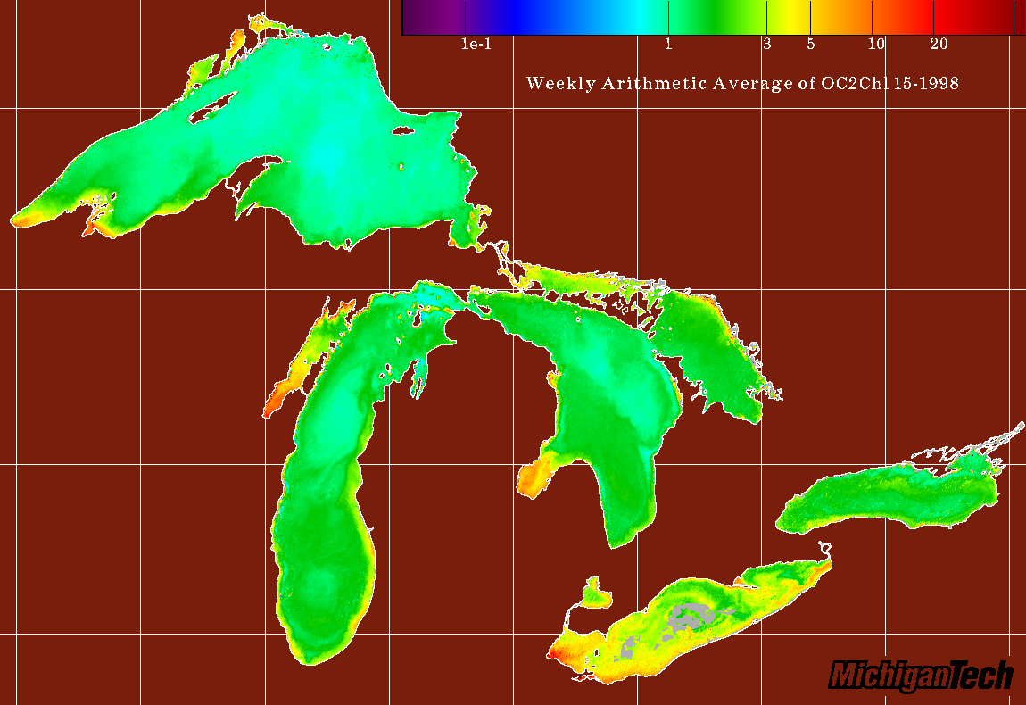
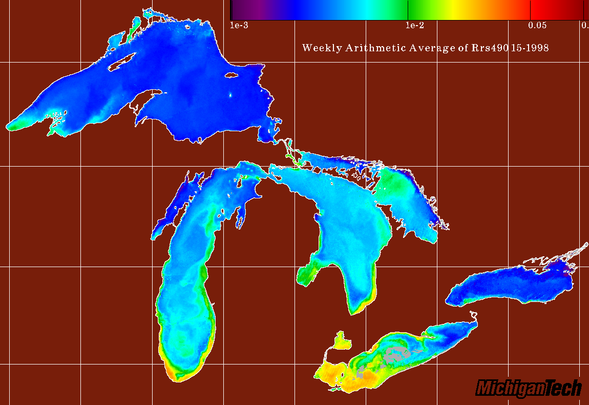
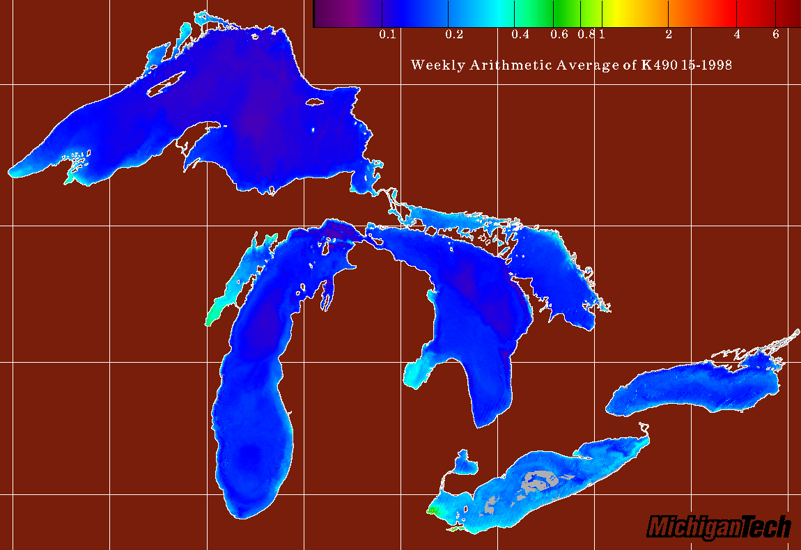
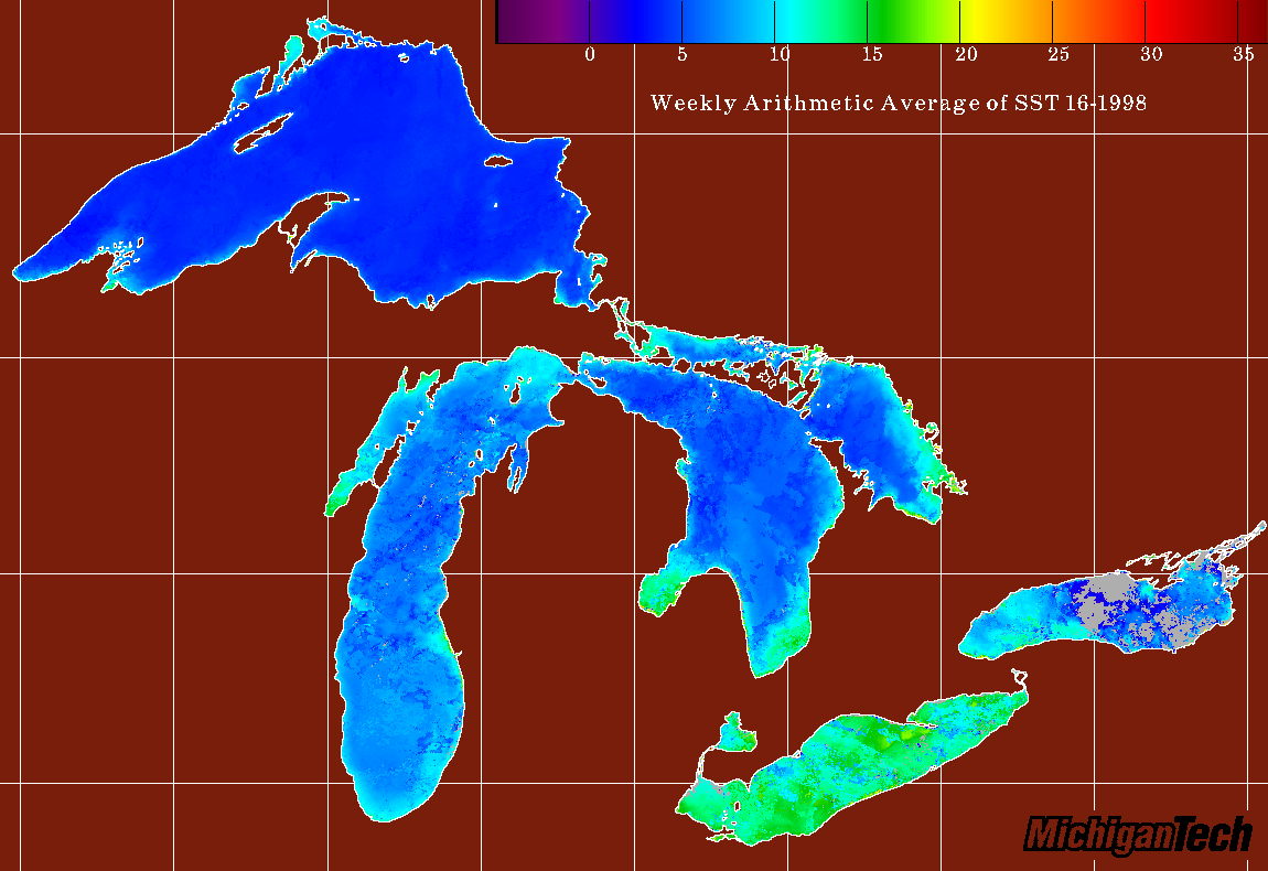
Other Products
Our group also produces a number of extra products that utilize different channels or satellites to study lake phenomena.
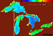
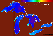
One of these products uses edge detection software to combine AVHRR SST and
SeaWiFS chlorophyl to describe the role thermal boundaries play in production
cycles in the Great Lakes. The August 8, 1998 Lake Superior KITES subset
image below illustrates this technique:
Left: AVHRR SST image with VW-SIED overlaid edges.
Right: Same-day SeaWiFS OC2 Chlorophyl with SST edges overlaid