Great Lakes Ice Home |
Outreach Page | Remote Sensing Institute |
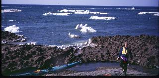
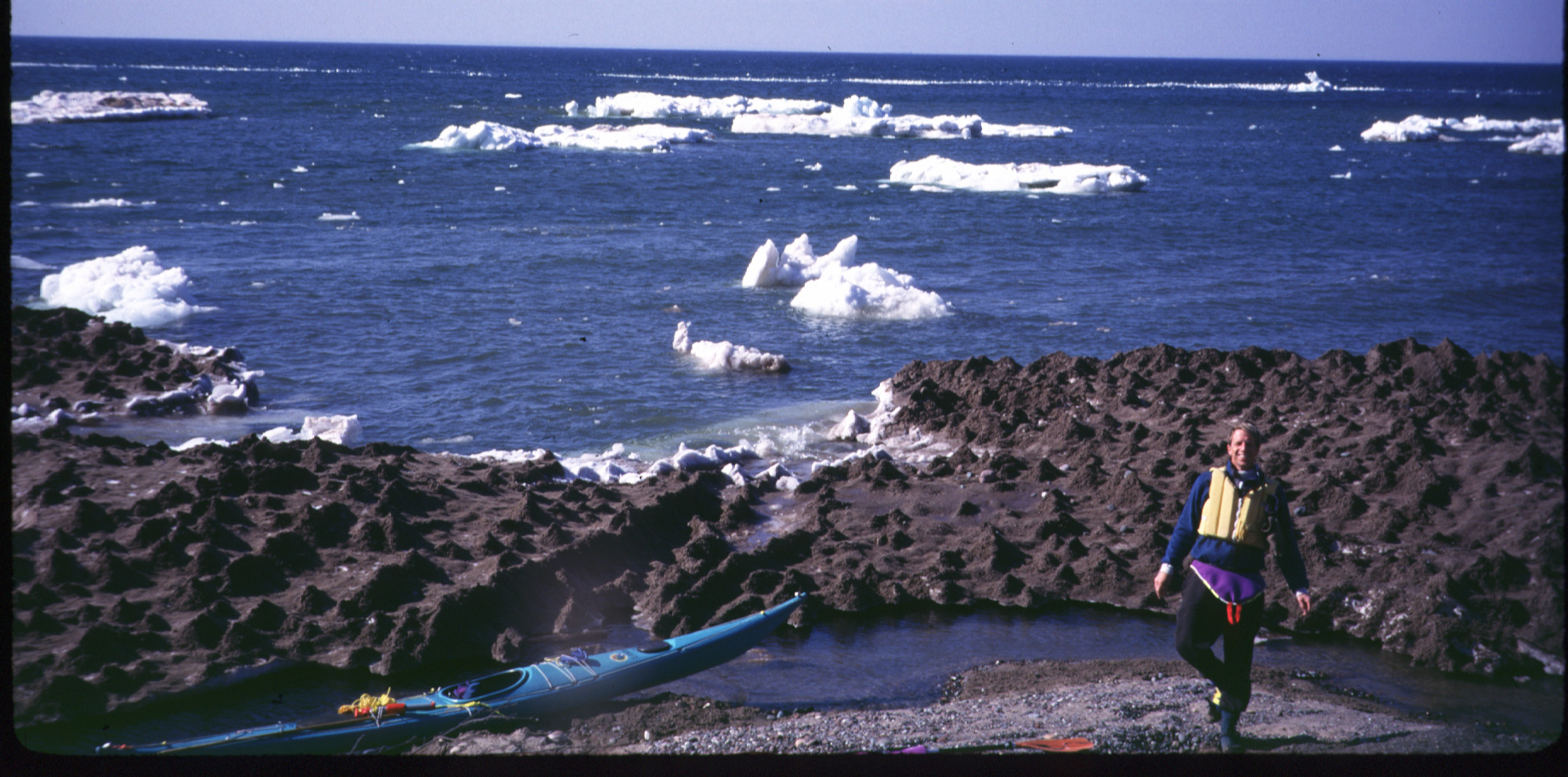
In situ Photos of Lake Superior Ice
These images are photos taken in the field, on the ice. They show some of the ice types typical of the Keweenaw Peninsula region (south shore Lake Superior).
Other In Situ Photo Links:
Ground Observations of Keweenaw Region Ice Conditions
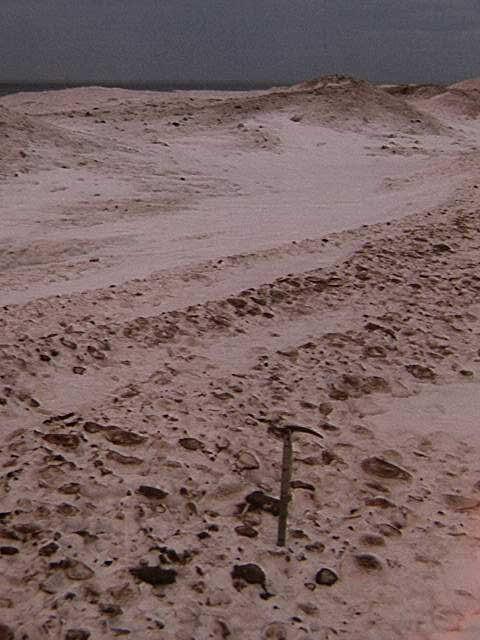
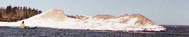
Ice foot / shorefast ice rampart.
We are looking lakeward across three small ridges, a snow-drifted swale and one large ridge with limnovolcanos. Lake Superior is the narrow dark grey band on the horizon. The ice axe is 65 cm tall.One of the first ice types to form on Lake Superior is a shorefast conglomerate of ice balls and wave spray called an ice foot or rampart. Much of the Superior shore develops an ice foot where wave and beach prerequisites are met; i.e., a shoreline exposed to powerful winter waves and wind, and a beach to initiate ice accretion. The ice foot is generally from 5 to 150 m in width, and from 0.5 to 3 m thick. It tends to be wider in areas with shoals. It grows episodically, as indicated by the series of shore-parallel ridges in the photo, and by general observations of storm events. The author once observed ice accreting to the shore on Keweenaw Bay at a rate of approximately 1 m per hour.
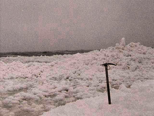
Ice foot accretion.
Looking from edge of existing ice foot across newly accreted zone to water. Note the conglomeratic texture of the lakeward zone. The ice clasts get rounded into balls by jostling in the waves. If the wave energy is low, the ice balls float, and migrate with the longshore drift. If the wave energy is high enough, the balls are accreted to the existing ice foot. The hump on the right may be an incipient limnovolcano. Ice axe is 65 cm tall. (The pink/red tones are an artifact of my light-leaking camera, not an algal bloom.)
Ice foot edge and compression zone.
A compression zone of pressure ridges and hummocks typically forms between the ice foot and pack ice. Imbricated slabs form a very rough surface texture. This compression zone is partially snow covered, giving a smoother appearance than is actually to be found if you walk (stumble) across it.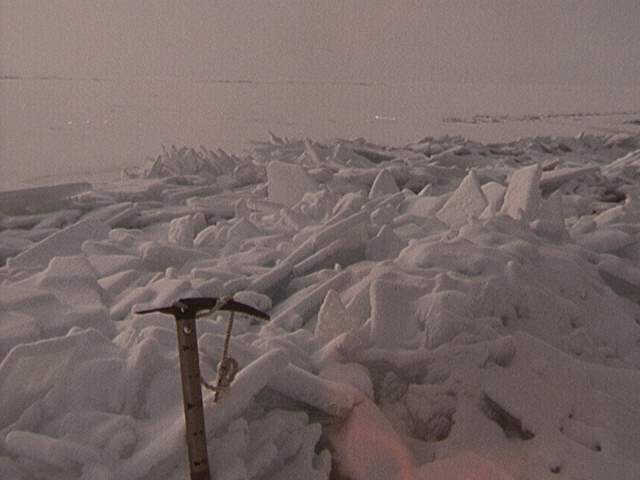
Pressure ridge.
Pressure ridges form when wind pushes a floating ice floe against the immobile ice foot. The development can be rapid (a 100 m wide compression zone forming in a matter of hours), and the sounds of crushing, imbricating ice are incredibly rich in tone, pitch and volume.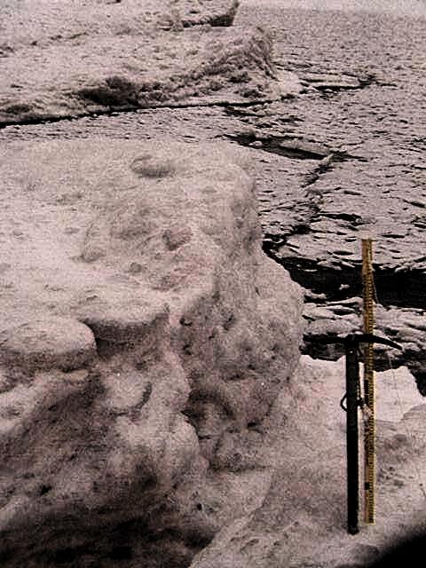
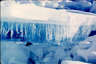
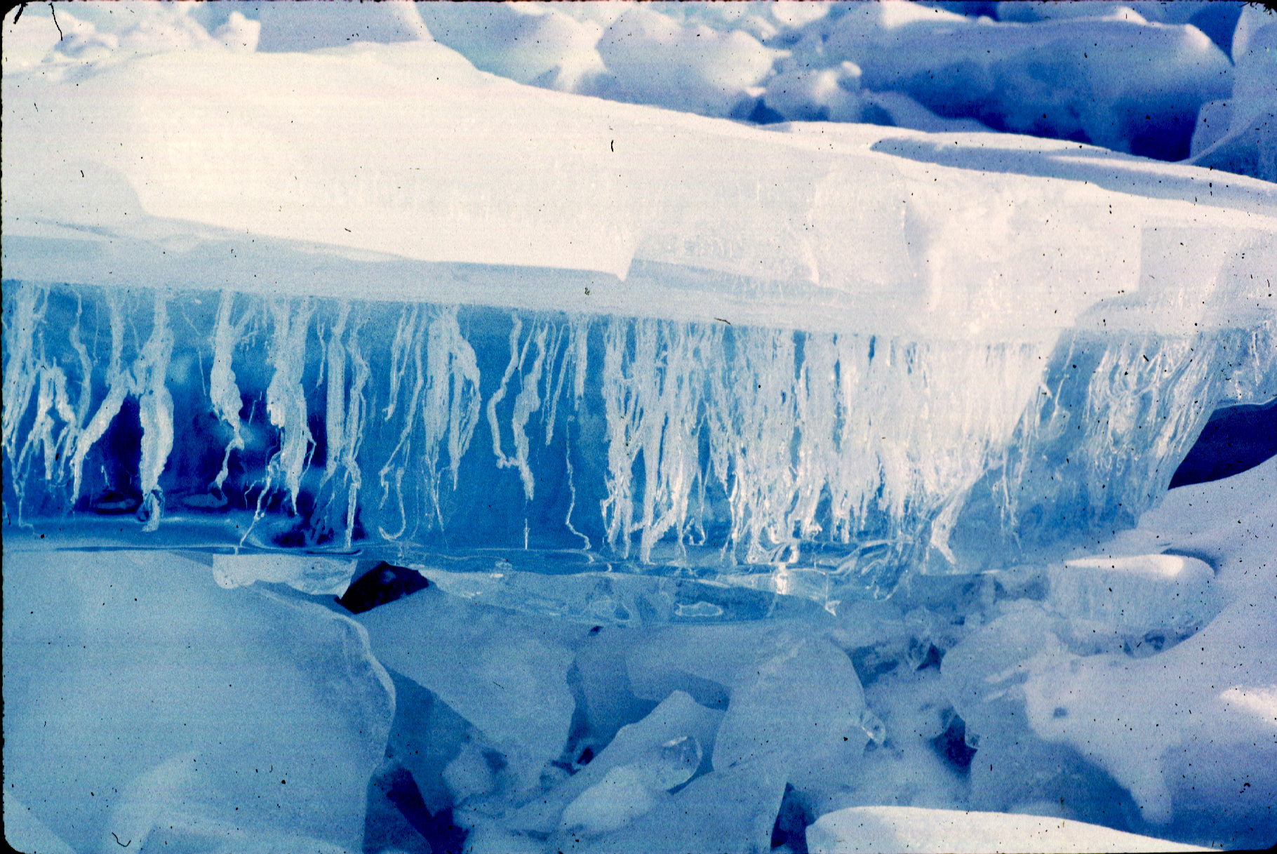
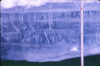
Ice foot texture, marginal lead.
The conglomeratic texture of the ice foot is evident in cross section. The dark line at the ice foot margin is an open water lead, separating the floating pack from the shore fast ice. This lead may open and close numerous times in the course of a day as the wind shifts. Beyond the lead is an ablated, snow covered compression zone. The ablation and snow cover in this spring time photo smooth the formerly sharp angularity of the pressure ridge slabs.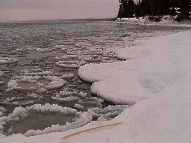
Pancakes.
Slush ice congregates in blobs, perhaps rotating in the current, leading to a generally rounded or oval shape in plan view. The blobs jostle against one another in the waves, compacting and pushing up the ice around the edges, forming the distinctive raised rims characteristic of pancakes. The interior retains its slushy (lumpy) texture after freezing.
Here's another variant on possible mode of formation. Sheets of clear ice form under cold, still conditions. Wind, wave and thermal stresses (expansion/contraction) cause once continuous ice floes to fracture into plates from centimeters to several meters across. A common shape is a quasi-hexagon, with three adjacent hexagons meeting at a triple junction vertex (a pattern displayed in mudcracks, cooling lava flows (e.g., columnar basalt) and lithospheric plates). These plates range from centimeters to dekameters in diameter. Wave and wind action jostles the plates. Collisions between plates gradually round the formerly linear edges, and create a thick rim on the perimeters. The interior of these raised-rim pancakeoids will tend to be more sheet like than the lumpy interiors of "true" (slush-ice produced) pancakes.
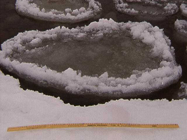
Pancake.
Close up of pancakes and meter stick. The pancakes are flooded in the center, forming yet another ice type upon refreezing.