Plumes, Thermal Studies, and Mapping
|
|
EOS Volcanology Slide Set #1
Plumes, Thermal Studies, and Mapping |
 SLIDE #1 (111K)
 SLIDE #2 (114K)
 SLIDE #3 (117K)
 SLIDE #4 (73K)
 SLIDE #5 (174K)
 SLIDE #6 (168K)
 SLIDE #7 (284K)
 SLIDE #8 (99K)
 SLIDE #9 (90K)
 SLIDE #10 (135K)
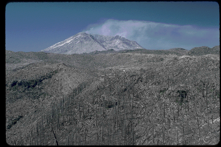 SLIDE #11 (137K)
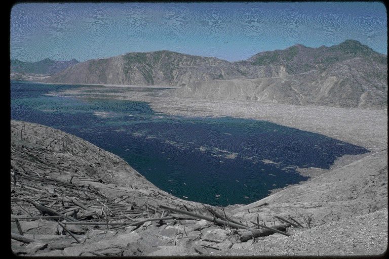 SLIDE #12 (129K)
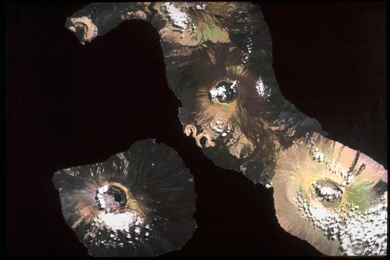 SLIDE #13 (138K)
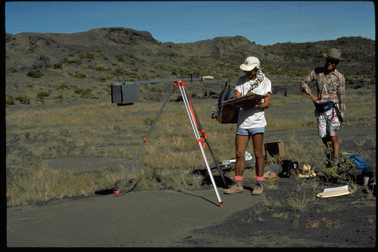 SLIDE #14 (141K)
 SLIDE #15 (102K)Return to Main EOS Volcanology Page