Baraga Sands

More information and photographs and maps of the Stampsand and associated mills can be found in the Copper Country Explorer.
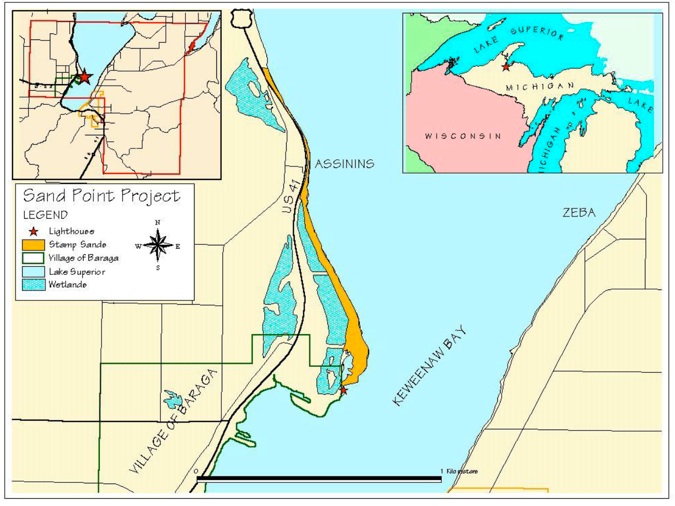
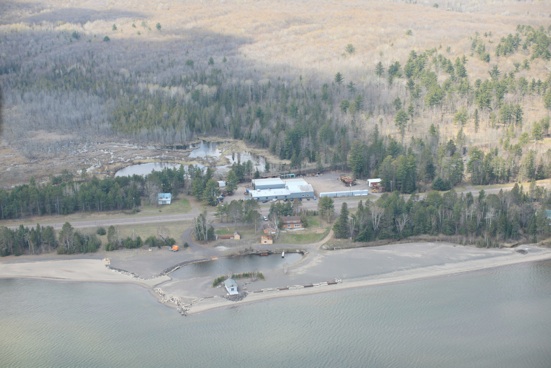
Five Miles North of Sand Point is the site of the Mass Mill (B on the map), operating from about 1901-1919. This stamp mill and the Michigan Mill (E) processed copper ore from the inland areas near Mass City and dumped stamp sand into Keweenaw Bay east of the mill. This stampsand was carried southward by the Keweenaw Current.

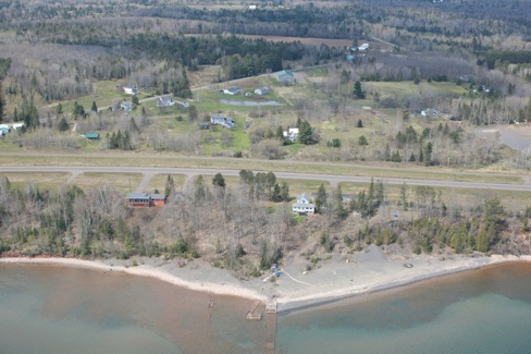
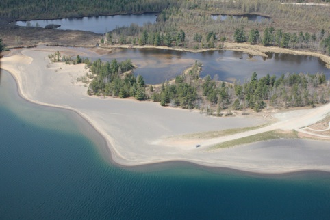
At Sand Point (between points C and D on the map), part of the Keweenaw Bay Indian Community lands, Stampsands from the Mass Mill have accumulated. The area has been restored from a contaminated barren state to a native plant community by KBIC. The map of restored KBIC stampsands is shown below. See report by Pamela Nankervis.
http://greatlakes.usace.army.mil
http://greatlakes.usace.army.mil

http://greatlakes.usace.army.mil