2012
Waterfront/Canal in Houghton
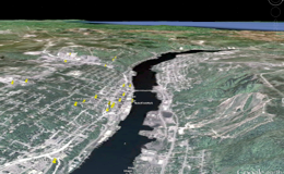
The waterfront in Houghton is a geologic mystery to explain. How does it happen that the waterway cuts across the layers of lava and conglomerates that make up the rift? Why is there a portage for canoes and boats here? It is mainly a natural channel, formed by nature, not man. Ojibwe and other people before them used the channel for safe travel, and the name Keweenaw is linked to the concept of portage in Anishinaabe. Houghton and Hancock were founded because of the safe portage location and the waterway was dredged at both ends to enhance and facilitate boat travel and commerce.
But how did the waterway form naturally? We geologists link its origin to both the rift geology and glacial history. There are two elements to the explanation:
-
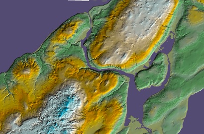
1.1.A fault which trends E-W cuts across the Keweenaw and weakens the rock layers which would normally form a resistant ridge here. This fault is buried under the canal, so we can’t see it at the surface--indeed there isn’t any direct evidence for the fault, except for the waterway. But other faults cut across the Keweenaw and Isle Royale in a similar way and they likely formed as the Rift subsided and then when it was uplifted.
-
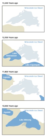
2.2.The waterway was part of a series of outlets for glacial lakes when ice was uncovering the area 13,000 - 10,00 years ago. The huge outflow of melted glacial water cascaded through the waterway and deeply eroded it along the fault.
Portage Lake, the “canal” and the Keweenaw
Stats
name Houghton Waterfront
location Houghton, MI
KMZ Download here
subjects Fault, Glacial channel
Minn Sea Grant
Question:
Would there be Copper along the big fault that may lie underneath the waterway?

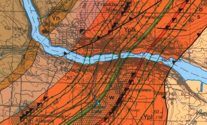

On the geologic map, the “canal” crosscuts the Portage Lake Volcanics.