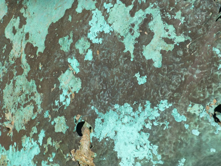
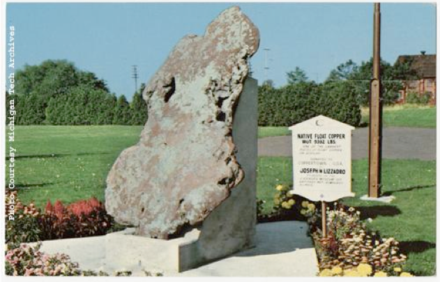
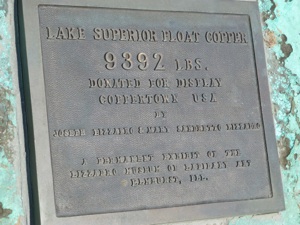
A ~9000 lb copper boulder likely represents a fragment of a vein of copper which was sheared by a moving glacier and carried along its base before depositing it 9-10 thousand years ago. This boulder was donated by Joseph Lizzadro and has been on display for decades near the Keweenaw NHP headquarters. Many similar boulders have been found in the Keweenaw. The boulder is mainly native copper, and the green minerals on its surface are malachite and cuprite.


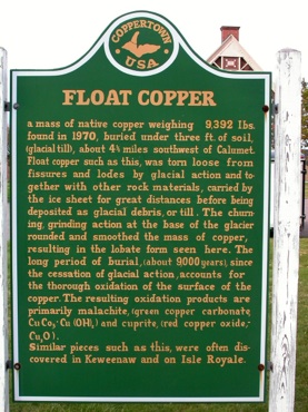


The surface of the Keweenaw Peninsula and Isle Royale was covered by continental glaciers for millions of years until about 10,000 years ago. During this time as much as two miles of ice buried Calumet. The ice came from the norrtheast and moved across the rock surface eroding deeply into the earth. As this happened, copper from veins within the lavas and conglomerates were occasionally freed from their surrounding rock, forming a “floating” piece of nearly pure copper. Often these float coppers were buried inside glacial outwash deposits like those all around Calumet at Swedetown, Centennial Hill and Copper City.
The most famous piece of float copper in the region is the Ontonagon Boulder, a legendary boulder found along the riverbank south of Ontonagon. The boulder had a repute that extended to many people from First Nation to immigrants and industrialists--it is a geoheritage icon. It was annexed by the US Army and taken to the Smithsonian Institution where it has been kept for more than a century.
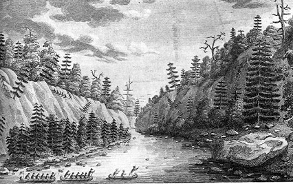
At left is a woodcut of the Ontonagon Boulder. The size is exaggerated greatly in the image.