
Neil Harri
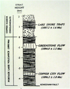
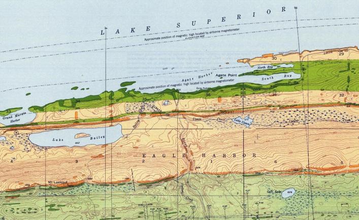
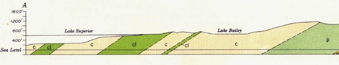
Along the N Shore of the Keweenaw from Eagle River to Copper Harbor, the shore is very close to the contacts between the Lake Shore Traps and the siltstones and conglomerates of the Copper Harbor formation above and below. The differential erosion of the rock layers, means there are reefs that are treacherous for ships. The ridge and valley topography makes for many harbors and elongate bays and islands. Navigation must take account of the attitude of these tilted layers.
Conglomerate
Lava
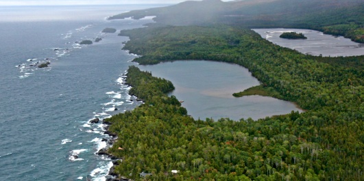
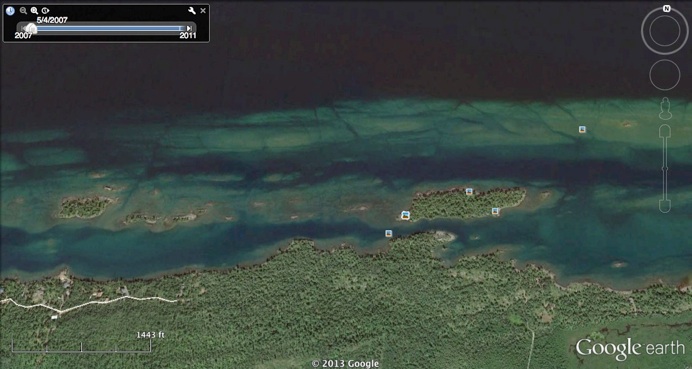
If you’re in a boat and careful, you can thread the needle through the channel S of Silver Island. Here you see Grand Marais in the foreground and Agate Harbor in the back (looking East).


Along this shore the lava and conglomerate layers dip gently to the North, and because there are softer flow tops alternating with harder flow interiors and harder conglomerate alternating with softer sandstones and siltstones, a ridge and valley topography occurs all along the shore from Eagle River to Copper Harbor.
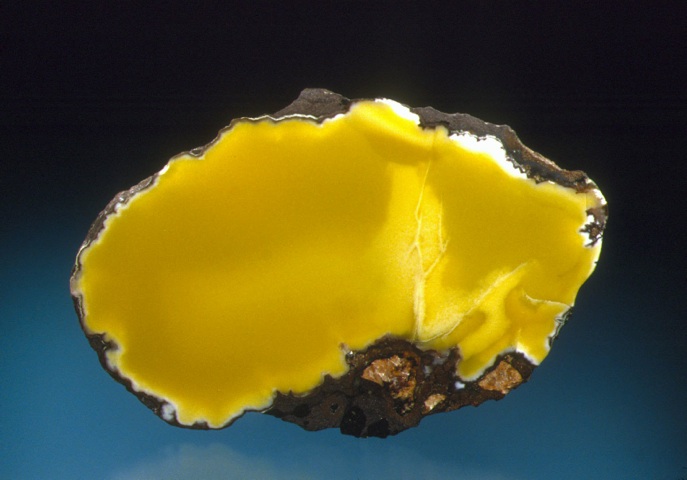

Datolite
Grand Marais, near Eagle Harbor
AE Seaman Museum